
The Guadalupe River
W.O.R.D. Invites You to Float the Upper and Lower Guadalupe River with a Virtual Reality Map of the River.
The Water Oriented Recreation District of Comal County (W.O.R.D) has partnered with FishViews to bring even more of the Guadalupe River to the people of Comal County through an immersive “street view” style map of the Guadalupe River.
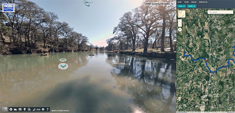 CLICK HERE to experience the entire 10-mile stretch of the Nichol’s Landing Upper Guadalupe Paddling Trail, just upstream of Canyon Lake.
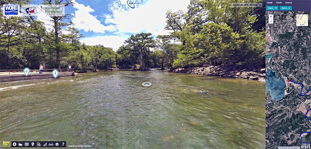 Experience FishViews’ most popular Hill Country tour! This stretch covers the Guadalupe River below the Canyon Lake dam. Famous markers included the Horseshoe, Devil’s Playground, the Chute, Huaco Falls, and more! You can also see businesses along the river to help plan your stay! TAKE THE TOUR

Click image for larger view
Trout Stocking
Texas Parks and Wildlife stocks fish big enough every two to four weeks during summer and winter seasons. Learn more HERE.